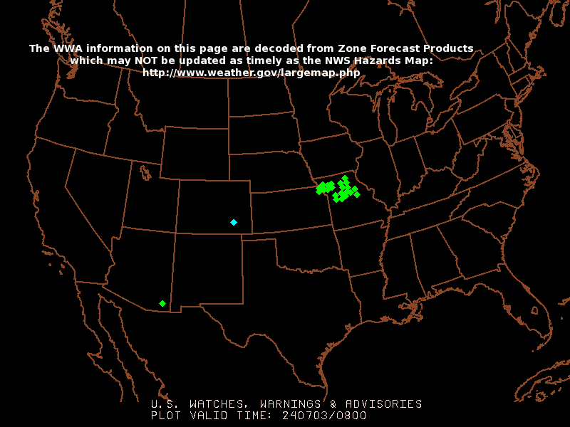
Some afternoon showers and storms today....

>> Tuesday, April 27, 2010


A strong upper level disturbance is rolling our way, and that disturbance will likely be enough to crank out some showers around the region this afternoon and early this evening. A few storms could be involved as well, and I can't rule out some gusty winds or small hail with any storms that fire. Highs today will be in the 60s.

The sky will quickly clear tonight, and cooler air will settle in with lows in the lower 40s tomorrow morning.

The weather looks very quiet for us tomorrow through Friday with a sunny sky and highs getting a bit warmer each day. Look for 60s tomorrow, 70s Thursday, then lower 80s by Friday.

A muggier and warmer airmass will arrive this weekend with highs up into the 80s and lows in the 60s. At some point over the weekend, shower and storm chances will return. For this morning's forecast package, I have removed the rain and storm chances from Saturday's forecast and included it in Sunday through Tuesday's forecast.

Read more...

A few showers/ storms possible

>> Monday, April 26, 2010

In today's video, a look back at a tragic weather weekend, plus what is in store for the new week....


After a tragic weather weekend across the eastern US, we will ease back toward quieter weather with time this work week. However, a couple of disturbances will roll our way over the next 48 hours and bring the chance of a few showers or storms.

Today will be quite breezy with winds gusting over 30mph at times out of the west-southwest. As the first disturbance approaches, a few isolated showers or storms are possible this afternoon. Highs will be in the 70s.

Tomorrow, a stronger disturbance will move in, and I will forecast scattered showers and storms tomorrow afternoon with highs in the 60s.

The weather looks quite nice Wednesday through Friday with lots of sunshine and highs getting a bit warmer each day.

Conditions look to get unsettled again next weekend into early next week as another storm system slowly approaches from the west.

Read more...

Sunday...

>> Sunday, April 25, 2010


Turned out to be a tragic severe weather day across the Deep South yesterday, especially in Mississippi where a number of people lost their lives from a major, long-tracked tornado. Storm surveys will be conducted today.
Around the Carolinas, we will have the chance of some scattered showers and storms at times today, but the chance should gradually end from west to east as the day unfolds and drier air begins to move in.

A few storms could wind up strong to severe today, and I would imagine the greatest chances of that occurring would be along and east of I-95. However, if storms fire early enough in the day, I can't rule it out for the I-85 corridor.

Read more...

  © Blogger templates Shiny by Ourblogtemplates.com 2008

Back to TOP